A flood map helps you ask better property questions. Read its legend, verify its status, and follow the water beyond the colored boundary.
A home can sit outside a mapped high-risk flood area and still have a drainage problem. Picture a street carrying heavy rainfall toward a low driveway. The question is where that water goes when the normal drainage route cannot carry it. The flood-zone label alone does not answer that question.
FEMA maps are valuable records for floodplain management and insurance requirements. Their value increases when you understand what they represent and which questions require additional local evidence. Use this guide to assemble that evidence before buying, building, or changing a property.
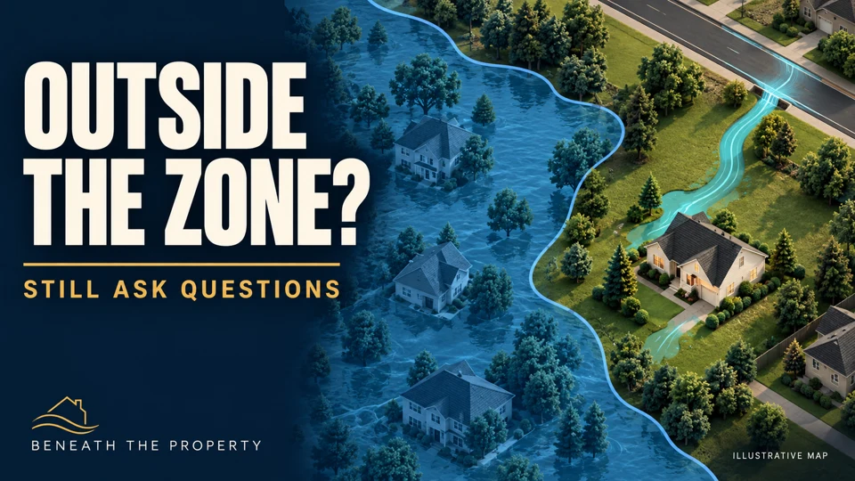
Watch the companion episode: FEMA Flood Maps: Why Low Risk Does Not Mean No Risk · 8-minute guide.
1. Start with the source and the legend
Begin with the FEMA Map Service Center and the relevant local floodplain or stormwater office. A screenshot from a listing can be helpful, but it should lead you back to the underlying map. Save the source, product or panel identification, and date.
Read the legend on the map you actually use. Colors and symbols are not universal across websites. On FEMA maps, A and V designations identify high-risk areas; V designations include an additional coastal wave hazard. Zone X can be shaded or unshaded, representing different mapped hazard categories. Do not interpret the letter without its shading and notes. FEMA’s map-reading guidance explains these distinctions.
A label such as “minimal” or “moderate” describes a mapped hazard category. It is not a guarantee about every possible water source, drainage failure, or future storm. Ask the local floodplain administrator to explain any designation you cannot confidently interpret.
2. Find the building, not just the address pin
An address search gives you a starting point. Check that the marker corresponds to the building you mean. On a large parcel, the driveway, house and low-lying ground may occupy quite different positions relative to a mapped boundary.
Use recognizable streets and features to orient yourself. Save a view that includes the surrounding area, rather than cropping so closely that the water routes disappear. If a boundary is close to a building, or its interpretation affects a transaction or proposed project, seek verification from the appropriate official or qualified professional. Screen measurements are not a substitute for suitable survey information.
3. Check whether the map is effective, preliminary or historic
FEMA’s Map Service Center FAQs distinguish current effective maps from preliminary and historic products. A preliminary map is not the final regulatory product. It can still raise an important question about new information, so ask how it relates to the current effective map and local requirements.
Also ask whether any letters of map change apply. Keep the actual document and verify the building or land it covers. A brief statement that “the map was changed” leaves important details unresolved. Record the effective date and the date you retrieved the information so that future readers can identify what you relied on.
4. Treat “100-year flood” as a probability
The term describes a flood magnitude with an estimated 1% chance of being equaled or exceeded in a given year. It does not mean a flood happens on a fixed 100-year timetable. An event this year does not create a 99-year safe period. See the USGS explanation and the National Weather Service FAQ.
That probability is also different from the depth of water in a room. Flood extent, water-surface elevation, ground elevation, floor elevation and openings are distinct pieces of information. When comparing elevations, confirm that the records use compatible vertical references. A base flood elevation is not simply a depth measured above the nearest lawn.
5. Follow local runoff beyond the map boundary
Roofs, roads and parking areas reduce the area where rainfall can infiltrate and can send runoff to drainage systems more quickly. The USGS account of urban development and floods explains why the surrounding catchment matters.
From a safe, dry location, identify the visible route: collection point, channel or pipe, inlet, and destination. Then ask what happens if water cannot enter the inlet, the receiving system is full, or the incoming flow exceeds the intended route’s capacity. FEMA’s guide to localized flooding explains why smaller local drainage problems may fall outside mapped special flood hazard areas.
A low driveway, water stain or patch of sediment is an observation. It does not establish a specific cause or future flood depth. Pair observations with drainage plans, reliable photographs, documented history and appropriate local advice. Our home drainage guide provides a companion method for tracing the route.
A compact map-reading record
- Map identity: source, panel or product, legend, effective date and retrieval date.
- Map status: effective, preliminary or historic; applicable map-change documents.
- Location: actual building, access, parcel context and nearby mapped boundaries.
- Water routes: visible sources, low points, inlets, outlets and possible overflow paths.
- Supporting records: drainage plans, documented flood history, repairs and relevant survey information.
- Unresolved questions: what needs clarification, which office or professional to ask, and the evidence to bring.
Keep this record with the Beneath the Property field-notes worksheet. The aim is a focused conversation, not a self-issued certificate of safety.
Keep event safety and insurance questions separate
Never walk or drive into floodwater to inspect a drain or test the depth. Water can conceal a damaged road and can move people or vehicles. Follow current warnings and local emergency instructions; a planning map is not a live all-clear. Read the National Weather Service flood-safety guidance.
Discuss insurance with your insurer or agent before a storm threatens. Most homeowners policies exclude flood damage, according to the National Flood Insurance Program. Check the actual coverage, exclusions and applicable requirements for your situation. A lender not requiring a policy does not establish that flooding is impossible.
Three questions to take away
- Which hazard and map version am I looking at?
- Where could water arrive from, and where would it go?
- What local evidence do I still need?
These questions preserve the usefulness of the map while keeping its limits visible. They also help a homeowner, buyer or real estate professional explain an uncertainty clearly enough for the right person to investigate it.
General education, not a property assessment, engineering design, insurance recommendation or legal opinion. Primary references checked October 13, 2026. AI-assisted writing and illustrations; technical claims checked against the linked sources. Illustrations depict fictional settings. How we prepare our guides · Suggest a correction