A level lawn tells you the shape of a property today. Its history helps explain what might be underneath.
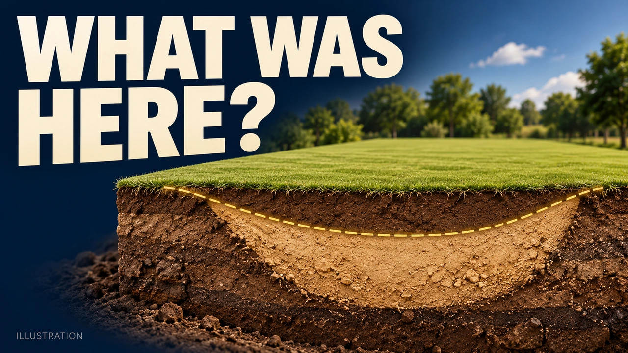
Imagine looking at a vacant lot with neat grass, easy access and plenty of room for a house. An older photograph shows a hollow in the same place. A later photograph shows earthmoving. Neither image tells you whether the completed ground is suitable for your proposed building. Together, they give you a better question: what changed here, and which records explain the work?
This guide uses that fictional example to organize a property investigation. Fill is not automatically a defect. The useful distinction is between knowing that material was placed and having evidence about its suitability, construction and intended use.
Start with the shape the ground used to have
A level building area may be formed by removing material from higher ground and placing material on lower ground. The finished surface can conceal a transition between different ground conditions. A former hollow can also mean that the thickness of placed material changes across the lot.
Ask for plans or sections that relate the original ground to the finished surface. Use them to locate the proposed building, driveway, pool or addition. A document becomes more useful when you can connect its statements to a specific part of your project.
Understand what the word “fill” leaves unanswered
Engineered fill involves material selection, preparation, placement and verification for an intended use. FHWA guidance describes the importance of suitable materials and preparation in its fill guidance. Its highway context should not be treated as a residential design specification.
Questions for the project professional include: What material was used? What ground was beneath it? What was the work intended to support? Which observations and tests document construction? A landscaped yard and a foundation have different performance needs.
Settlement concerns are also broader than the placed material. Added weight can affect compressible ground below it. Different amounts of movement across a structure create distortion; the consequences depend on the structure and the movement involved. A photograph alone cannot establish those conditions.
Build a timeline, then record its limits
USGS EarthExplorer provides access to aerial imagery and other remotely sensed data. Local archives may offer additional photographs or grading records. Compare recognizable roads and neighboring features, and save the source and date of each image.
Keep observations separate from explanations. “A low area is visible in this dated image” is an observation. “The lot was filled correctly” requires different evidence. Vegetation, shadows, image resolution and gaps between photographs limit what a timeline can establish.
| Record | Useful question | Limit to keep visible |
|---|---|---|
| Historic image | What surface changes are visible between dates? | It does not verify buried material. |
| Grading plan or section | Where were cuts and fills proposed or recorded? | Confirm whether it documents design or completed work. |
| Geotechnical report | Which location, investigation and intended use does it address? | Check its scope, assumptions and recommendations. |
| Construction observations and tests | What work was observed, where and when? | A test result needs its location, method and material context. |
Read a compaction result with its context
A relative-compaction percentage compares field dry density with a laboratory reference dry density determined by a specified method. It does not mean that the same percentage of a property is safe. The material, test method, moisture information, location and depth matter.
FHWA’s construction-verification guidance connects earthwork quality control with the project specification. Ask the responsible professional whether the records address the applicable requirements for your proposed work. This guide deliberately gives no universal lift thickness or density target.
A page of passing results raises another practical question: were the tests taken in the building area, a utility trench or somewhere else? Los Angeles reporting guidance provides one local example of documenting fill and compaction-test locations and depths. Its requirements should not be assumed to apply in another jurisdiction.
Water and time deserve separate questions
Some susceptible soils collapse when wetted. Other compressible soils consolidate as water drains from their pores under load. These are different mechanisms. The USGS discussion of subsidence settings describes several processes that can reduce ground volume.
A leaking service or a changed drainage route is useful information for an investigation. It does not establish that every nearby depression has the same cause. For practical observations around a home, see our field-notes worksheet.
Observe safely; do not investigate by digging
From a safe position, record changes in pavement level, depressions, gaps at connections or changing cracks. Note the date and location. These observations help a professional decide what to investigate; they do not diagnose the buried ground.
Do not dig beside a foundation or enter an excavation to look for answers. Buried services and unstable excavation sides create hazards. OSHA’s excavation-safety guidance explains why excavation requires proper planning and protective measures. Begin with records and qualified advice.
Take three requests into the next conversation
- Show me the history. What changed, where and when?
- Show me the evidence. Which records cover this part of the site and the work I am proposing?
- Explain the remaining uncertainty. What can be established now, and what further professional review is needed?
Missing paperwork does not prove that the ground is defective. It does leave a gap that should remain visible. Ask the appropriate local authority and qualified professional what further evidence is available before relying on the site for a new project.
Continue watching: What the Listing Won’t Tell You: Red Flags to Watch Out for When Buying Land.
General educational information, not a property assessment or engineering design. Examples are fictional; diagrams are conceptual and not to scale. Local requirements and site conditions vary. Questions or corrections: info@beneaththeproperty.com.